Diagnosing individual trees from above
26 July, 2020
Increased data resolution makes it possible to scrutinize individual trees on a farm, which enables farmers to take targeted action. As the world’s population grows, it is vital to have improved ways to optimize food production. Remote sensing technologies are key to meeting these goals, providing the means to monitor crop health over large areas.
Researchers, Kasper Johansen and Matthew McCabe, at KAUST’s Water Desalination and Reuse Center, with co-workers in Australia, have demonstrated this potential using combined data from satellite and unmanned aerial vehicle (UAV) flights to accurately map the condition of macadamia trees in Queensland.
Click here to read the full story
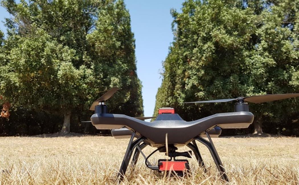
Image: The team used combined data from satellite and unmanned aerial vehicle (UAV) flights to accurately map the condition of macadamia trees in Australia.
© 2020 Kasper Johansen